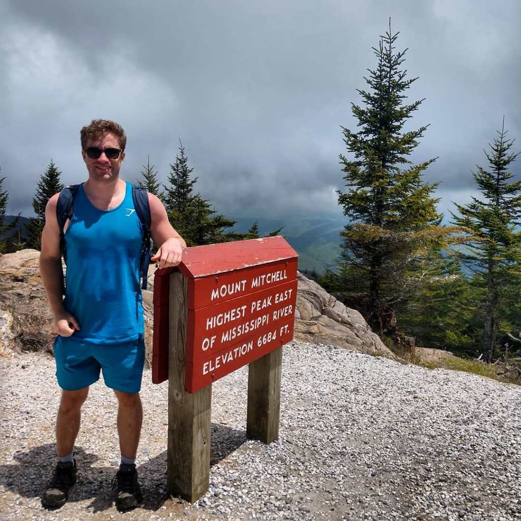
I mistakenly thought I’d conquered the highest mountain in the eastern US when my brother and I did New Hampshire’s Presidential Traverse, a notoriously difficult trek across 6 White Mountain peaks all named after, you guessed it, past presidents (mostly the founding fathers, although somehow Eisenhower snuck in there). We got halfway through the traverse, felt out bodies falling apart, and bailed when we got the summit of Mount Washington, which is what I always thought was the highest. Now, I’ll stand by this decision: very few summits have the option of a shuttle service down, so you take advantage when you can. It wasn’t till I got down to Asheville that I was informed Mt. Mitchell is taller. My brother and I hiked Mt. Mitchell this past spring without having to bail, so I’m writing this feeling vindicated in my hiking abilities, if not my geographic prowess.
Full disclosure: we did some light googling on the car ride back to Asheville and found that despite being 400-feet shorter, the Mt. Washington Hike actually beats Mt. Mitchell in elevation gained. While Mt. Mitchell was a indeed a tough hike, and I was moving like an elderly person as of writing the first draft of this post, I feel confident saying that if I hadn’t done two consecutive hikes on the consecutive days leading up to Mt Mitchell, then I’d probably be fine afterwards.
There are several options to summit Mt Mitchell, most of them originating in the confines of its eponymous state park accessed from the Blue Ridge Parkway surrounding the summit. We opted for the Mt. Mitchell Trail, an eleven-and-some-change out and back route that starts across from the Black Mountain Campground. Note to those attempting that route: Don’t blindly trust your GPS on your way to the trail head. If you start going up a dirt road that it appears very few cars drive on, it’s because very few cars actually drive on it. The Mt. Mitchell trailhead IS on a dirt road, but it’s an accessible dirt road. There’s also a nice sized paved lot, and the aforementioned campground. If you start going up so high you think to yourself, “there’s no way you could put a nice sized parking lot and campground on this mountainside,” you’re also going the wrong way. Turn yourself around.
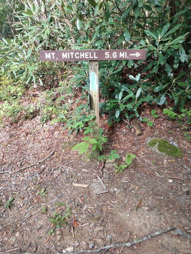
Another mistake to avoid? Following the Buncombe Horse Trail where it intersects the Mt. Mitchell trail to meander around the summit of Mt. Mitchell instead of following the Mt. Mitchell trail the 1.6 miles to the top. Since neither Shawn or I are Fitbit people, I can’t tell you how much this added to our trip, but my safe guess is at least two miles, which we felt the actual last two miles of the hike.
All in all, it was an enjoyable hike I’d do again. It didn’t have the same sweeping views of some of the other parkway hikes I’ve done, but again, it has those bragging rights. 4 out of 5 stars for sure.

1 Comment